MAPS AND PLANS
These large maps and plans from 1964 were found in the Gardiner Chamber of Commerce office many years ago. They offer a unique view of the history of our town and its changes through time. Click the links and images for the full file.
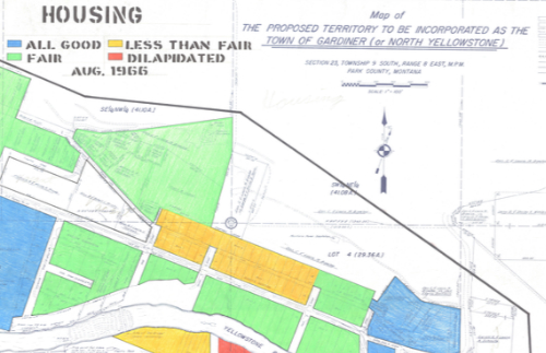
- Gardiner Housing Map - 1966. Dated 4/3/64. Drawn by T. J. Hallin
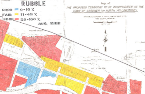
Gardiner Rubble Map - 1966. Dated 4/3/64. Drawn by T. J. Hallin
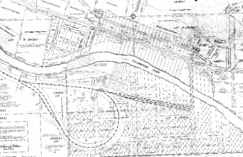
- Map of the "Proposed Territory to be Incorporated as the Town of Gardiner (or North Yellowstone)". Dated 4/3/64. Drawn by T. Hallin
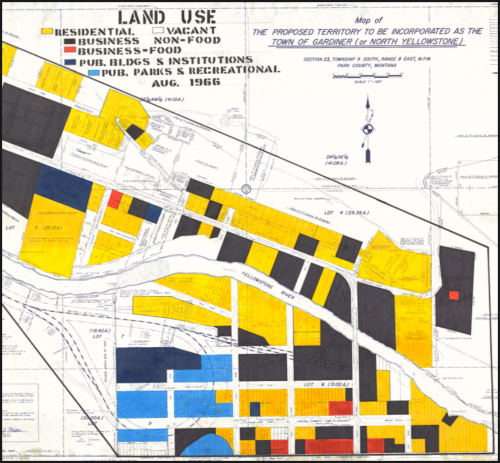
- Land Use Map of Gardiner. Dated 4/3/64. Drawn by T. Hallin.
File List:
| proposedterritoryfor_incorp.pdf |
| gardiner-land-use.pdf |
| gardiner-housing-map-1966.pdf |
| gardiner-rubble-map-1966.pdf |